

Satellite navigation compressed centuries of wayfinding skill into a single instruction within a generation. Reading charts, plotting courses on open water, and tracking airways by radio beacon all gave way to the same interface: a screen with a blue line. The navigation tools arriving in the summer of 2026 have moved past that interface. They perceive their surroundings through cameras and sensors, predict conflicts before they develop, and accept commands in conversational language. The transformation is happening on roads, on water, and in the air at the same time.
Learning the routes
Waze’s July update, powered by Google’s Gemini, introduced personalized routing that learns from each driver’s history. The app tracks whether a driver consistently prefers highways over surface streets and adjusts its first suggestion accordingly. A new motorcycle mode, currently rolling out in Latin America and Southeast Asia, calculates routes along narrower streets and shortcuts that cars cannot access, with ETAs calibrated for two-wheeled speeds. For drivers who find the default experience too talkative, a “less chatty” toggle trims voice prompts to critical turns and hazards, letting podcasts and music run without constant interruption.
Gemini also powers a new conversational layer. Drivers can tap the voice search icon and ask for a gas station with the lowest premium prices, or for parking near a specific landmark, and receive a filtered list of results. Conversational Reporting, which previously covered only traffic incidents, now accepts natural-language map corrections. A driver can say “the road is closed here,” and Waze sends the update to local editors for verification. The app has moved from giving directions to holding a conversation about the drive.
The tireless watchman
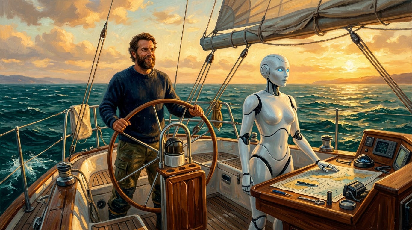
On the water, the challenge shifts from route optimization to situational awareness. The U.S. Coast Guard attributes 81% of fatal boating accidents to operator error, and much of that error comes from failing to see hazards in time. HD Hyundai’s Avikus subsidiary addresses the docking problem with NeuBoat Dock II, a six-camera system named a 2026 Boating Industry Top Product. The system estimates exact distances to nearby objects using AI alone, triggers a dynamic virtual bumper when anything closes within five meters, and offers a guided docking path back to a saved home point. It requires no LiDAR or stereo cameras, can be calibrated in the water without hauling out, and connects to most major chartplotter brands through standard HDMI and USB-C.
SEA.AI solves a different problem, using optical and thermal cameras paired with machine learning to detect objects invisible to radar and AIS, from shipping containers and kayaks to the barely-visible ice fragments known as growlers. The company trained its models aboard IMOCA 60 racing yachts in the Vendée Globe and on Antarctic expeditions with Team Malizia’s research vessel. That data pipeline now feeds more than 1,200 deployed systems worldwide, and Privilège Marine made SEA.AI standard across its full range of catamarans in 2026. For offshore cruisers, SEA.AI functions as an AI watch-keeper that never sleeps, covering the gap that keeps single-handers and small crews awake at night.
Extending the horizon
Aviation operates at the largest scale and the longest time horizon. The FAA selected Air Space Intelligence in June to build a new data platform for air traffic flow management, designed to identify schedule conflicts up to 90 minutes before they develop. The previous generation of tools flagged potential conflicts roughly 15 minutes out, leaving controllers to manage problems that had already become urgent. Deconflicting a flight path an hour or two early, through a minor altitude or routing adjustment, eliminates the downstream cascade that would otherwise demand real-time coordination from multiple controllers. In the UK, a £3 million research effort called Project Bluebird is testing how AI can work alongside human controllers to improve routing and reduce fuel consumption.
The capabilities extend to the cockpit. A startup flew a Cessna Caravan earlier this year with AI handling most flight tasks and minimal human intervention. Fully autonomous commercial aviation remains distant, constrained as much by regulatory and trust barriers as by technology. The near-term path runs through augmentation, with AI handling routine perception and decision-making while a human pilot retains authority over the unexpected.
Perception and prediction
Sensor fusion sits at the core of all three domains, with cameras, radar, GPS, and AI models combining their inputs into a picture that no individual system could produce alone. The human role shifts in tandem. Drivers give voice instructions in full sentences, sailors monitor an AI watch-keeper that sees in wavelengths the human eye cannot, and controllers oversee a predictive system that resolves conflicts before pilots notice them. AI has absorbed the mechanical work of perception and prediction across roads, water, and air, leaving the human with judgment and the final decision.